Topographic Survey
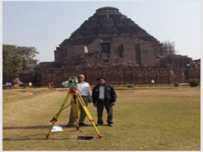
A primary objective for Topographic Survey is to produce a three
dimensional drawing of a particular piece of land or area. Our
Topographical Surveys include all natural and man-made features which
are represented by text, lines and symbols on the drawing. The drawing
of topographic survey also includes heights and elevations which are
represented by spot levels and contours for the execution of
engineering projects , GeoTRAK carried out Topographical Survey of
Clients like CTCI Taiwan, TATA- Aldesa , Reliance and companies all
across India.
Most Commonly topographical survey are used for planning stages of different projects to help design the layout and location.Our team of experienced professionals have the capability of handling combinations of topographic maps, which makes us deliver the accurate results on time..
Most Commonly topographical survey are used for planning stages of different projects to help design the layout and location.Our team of experienced professionals have the capability of handling combinations of topographic maps, which makes us deliver the accurate results on time..